Navigate Your Fleet to Success with our GPS Feature
Do you need to see the big picture of every truck in your fleet’s last known location? What about pinpointing the route and stops of a specific driver for a certain time frame?
The ability to see where a truck is located at any given time and get details about the driver’s route is an example of the type of information that can be useful for general fleet management, driver improvement training, or even investigative purposes.
And before you ask, yes all of this information can be provided in a seamless package with iGlobal’s innovative fleet management gps navigation software. From the truck to the office, the data can be used to provide a wealth of information to help keep track of a variety of details for both owner-operators and fleets. One of our favorite features is the GPS feature, which is a great tool whether you need a big picture view or the fine print.
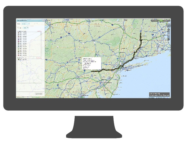
For example, let’s say a dispatcher receives a late pickup request. With the GPS feature, they are easily able to view any and all trucks in the area on the portal map to see who may be closest. The map allows the user to select a single truck, a group of trucks or the entire fleet to display on a map at once. Additionally, the user can define whether they want to view the trucks’ latest point or a breadcrumb trail for a specific period of time. A user can also select to view a timeline of the trucks’ route, down to the minute, for the current day, the previous day, or during a date range. The points will display on the map as either an arrow icon indicating the trucks’ direction of travel or a stop icon denoting the truck is not moving.
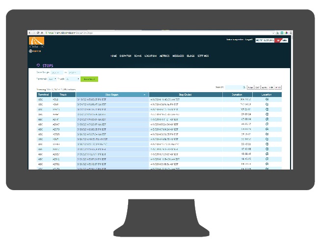
A variety of reports can be generated using this data. For instance, a stops report can be run which will date stamp when a stop occurred, the length of the stop, and the location of the stop. This report can list each truck in the fleet, detail the length of each stop made, and even be viewed in comparison to others in the terminal. This information can used to evaluate driver performance to highlight good practices or provide coaching for improvement. The report can be sorted by terminal or by longest duration. Once sorted, the user can click the link for the event and see the stop location on a map.
When viewing an individual point associated with a truck, the Web Portal user can see the relative distance to either a major city or a customer-defined landmark. For example, a landmark setting can be the customer’s terminal or some other location. This view allows the dispatcher to gauge how far a truck may be from a location for pickup or delivery.
The reporting function of the GPS feature can also be used for investigative purposes in cases of theft. So, if a theft is reported, management can go back to see exactly where the truck was located to compare with information from the driver at the scene. Additionally, if there is a discrepancy with a driver’s location versus what is reported, the data can be examined closely to highlight problems or a missing link.
At iGlobal, we continue to add innovation to our line of products. The GPS feature, packaged with other functions like scanning, text/audio messaging, and Elogs, on the Journey or EDGE line of MDTs can help save time and money. It’s just one more way we want to help your truck or fleet stay ahead of the competition.


